NOAA LOOP · 5 MIN+
THE WORLD, ON FIRE — LIVE
WATCH THE
SMOKE SHOW.
Wildfire as seen from orbit and the ridgeline. Search live incidents, check local fire weather, watch the fires that matter to you, and follow the view from satellite and public camera networks.
GLOBAL SIGNAL BOARD● ONLINE
01NASA thermal anomaliesLIVE
02Official incident reports15 MIN
03GOES fire-temperature imagery5–10 MIN
04NWS wind and local warningsON SELECT
05Public camera networksAT SOURCE
Heat detection does not always mean wildfire. Every layer is labelled by source and freshness.
EDITOR’S DAILY EDITION · LOADING
The Global
Fire Watch 10.
This is an editorial briefing, not a size chart. Live data creates the candidate pool; confirmed harm, evacuations, human exposure, ecological loss and credible reporting determine what makes today’s ten.
SHARE TODAY’S 10 ON X ↗Loading today’s edition…
News reports tell us who was killed, evacuated, displaced, or left under smoke—details the map feeds usually omit. Local authorities remain the source for warnings. Modeled population exposure is always identified as modeled, and a search link appears only when no reliable current article was available.
HOW THE EDITOR CHOOSES THE 10
Human consequence · deaths, injuries, displacement and destroyed homes when confirmed
Immediate threat · evacuation orders, official warning levels and fast-changing fire behaviour
Exposure · people or occupied land in and near the perimeter, with modeled figures identified
Natural loss · habitat, peat, forest and smoke effects that continue beyond the fire line
Editorial judgment · why a fire deserves attention today, even when it is neither the largest nor the best covered
The list requires editorial review; it is never published from a score alone.
LIVE DATA
Named fires, mapped perimeters, prescribed burns, heat, cameras and weather are separate signals. Only authorities issue public warnings.
NEW ≤30 MIN0 new Himawari heat detections · 0 named fires updatedQuiet data wire · not an alert · not confirmed wildfires
LAYERS
≤30 min ≤2 hr ≤6 hr heat Smoke Fire weather Himawari heat EFFIS mapped area Live camera Named incident Prescribed burn
POINTS OFFLINE
FIRMS NOAA-20 + NOAA-21NASA MAP_KEY required for clickable pointsNASA GIBS NOAA-20 + NOAA-21TIME awaiting data · follows playbackNOAA HMS SMOKEWaiting for a recent dated analysisNWS RED FLAG WARNINGSTemporarily unavailable · retry ≤15 minSPC DAY 1 FIRE WEATHERTemporarily unavailable · retry ≤15 minDEA HIMAWARI-9 HEATTemporarily unavailable · retry ≤10 minCOPERNICUS EFFIS 7-DAY AREASTemporarily unavailable · retry ≤60 minALERTCALIFORNIA CAMERASTemporarily unavailable · retry ≤5 min
REFRESHING FROM ORBIT
Satellite theatre
These false-colour images highlight intense heat—not a normal camera view. Red and white pixels can indicate hotter fires, while cloud and surface conditions affect what the satellite can see.
NOAA LOOP · 5 MIN+
NOAA LOOP · 5 MIN+
Imagery: NOAA / NESDIS / STAR. Informational satellite products are not emergency-response guidance.
PUBLIC RIDGELINE NETWORKS
Eyes on the fireline
Turn on Live Cameras in the map—or select a California fire—to find the nearest cameras reporting recent frames. Every view opens at the official source; SmokeShow does not reproduce the imagery.
+
PUBLIC LIVE VIEWS
ALERTCalifornia
1,200+ camerasCalifornia’s mountaintop monitoring network. Opens at official source. ↗+
PUBLIC LIVE VIEWS
ALERTWest
Western US networkLive views, panoramas and recent camera history. Opens at official source. ↗+
CONTINUOUS IMAGERY
GOES live sectors
Orbit-level viewFire temperature, smoke and geocolour loops from NOAA. ↗READ THE SIGNAL, NOT THE DRAMA
What are you actually seeing?
A compelling picture can still be ambiguous. SmokeShow keeps detection, confirmation, imagery and public warnings separate so the spectacle does not outrun the evidence.
SATELLITE DETECTION
Heat from above
A thermal anomaly means a satellite detected unusual heat in a pixel. It may be wildfire, a prescribed burn, agriculture, a volcano or industrial activity.
REPORTED INCIDENT
Confirmed on the ground
A named incident comes from a fire authority. Size, containment and location may still lag conditions or be revised as crews map the event.
CAMERA VIEW
A line of sight
Ridgeline cameras show only what their lens can see. Darkness, terrain, weather, movement and outages can conceal activity.
PUBLIC WARNING
The signal that matters
Evacuation and safety decisions belong to local authorities. SmokeShow always links outward to the official source rather than issuing its own alerts.
WHEN SMOKE IS IN THE AIR
Build a cleaner-air room.
The map shows where the smoke is. This desk covers what to do when it reaches the house: clean one closed room, upgrade the furnace filter if the system can handle MERV 13, and keep a genuine N95 for unavoidable time outside. These tools reduce exposure. They do not replace closed windows, HVAC recirculation, or an evacuation order. Affiliate links are disclosed.
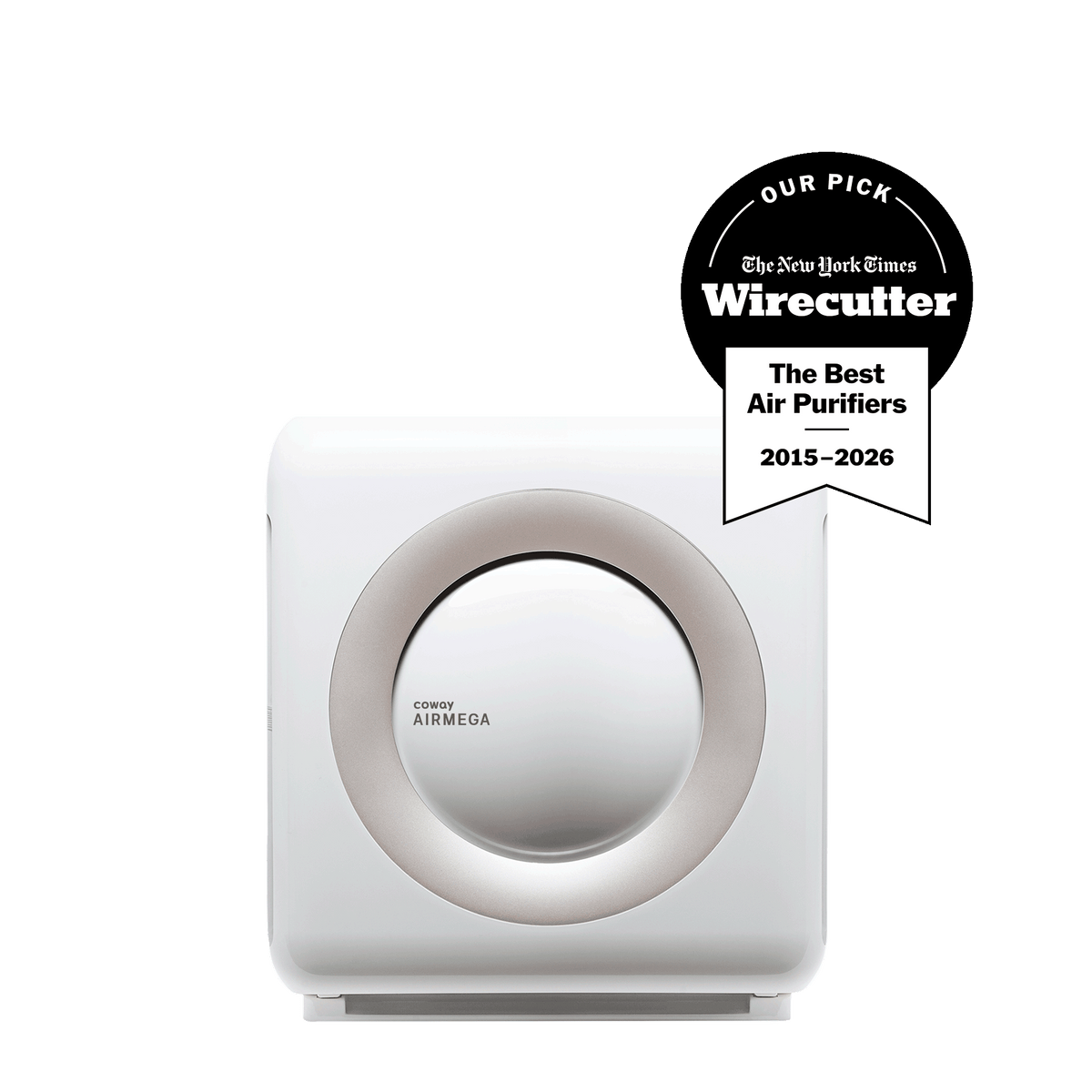
Best documented smoke CADR
Coway
Airmega Mighty AP-1512HH
A closed-room purifier with a manufacturer tobacco-smoke CADR of 233. Useful in a bedroom during a plume if windows stay shut. It does not make outdoor air safe.
$229.99Price checked September 7, 2026
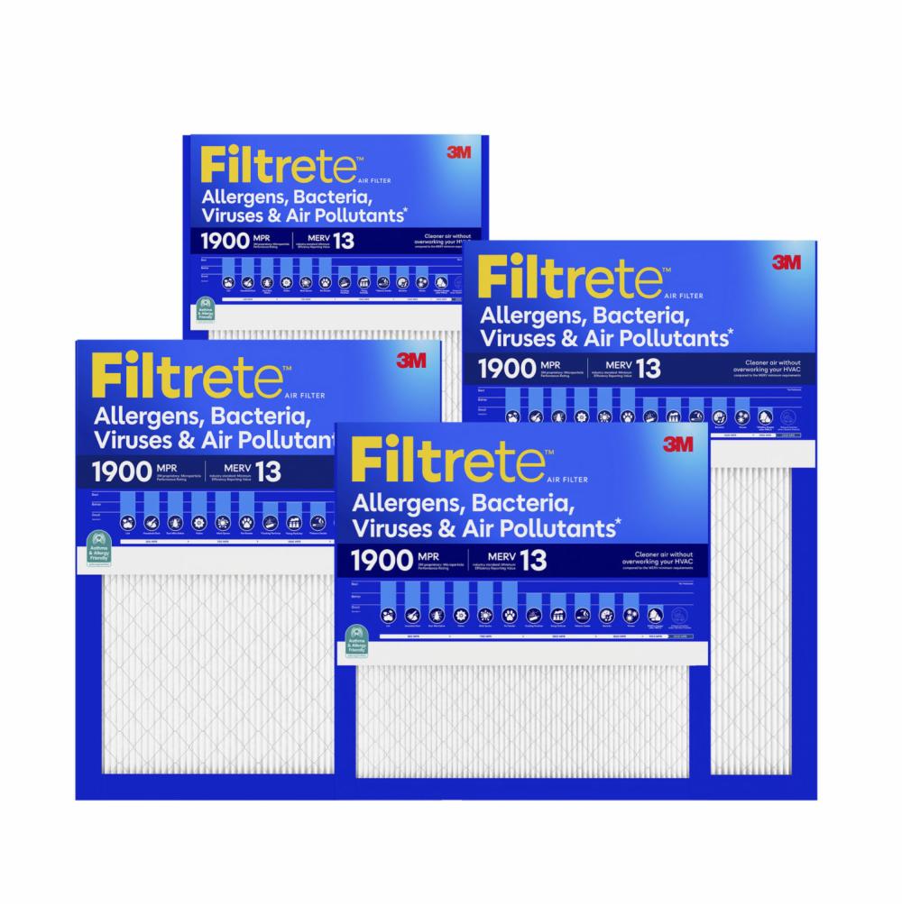
EPA’s 1-inch target
Filtrete
MPR 1900 MERV 13 16×25×1
EPA’s wildfire HVAC target is MERV 13 if the system can take it. This is a common 1-inch size. Read the old filter. Do not force MERV 16 into a 1-inch slot.
$132.63 / 4-packPrice checked September 7, 2026
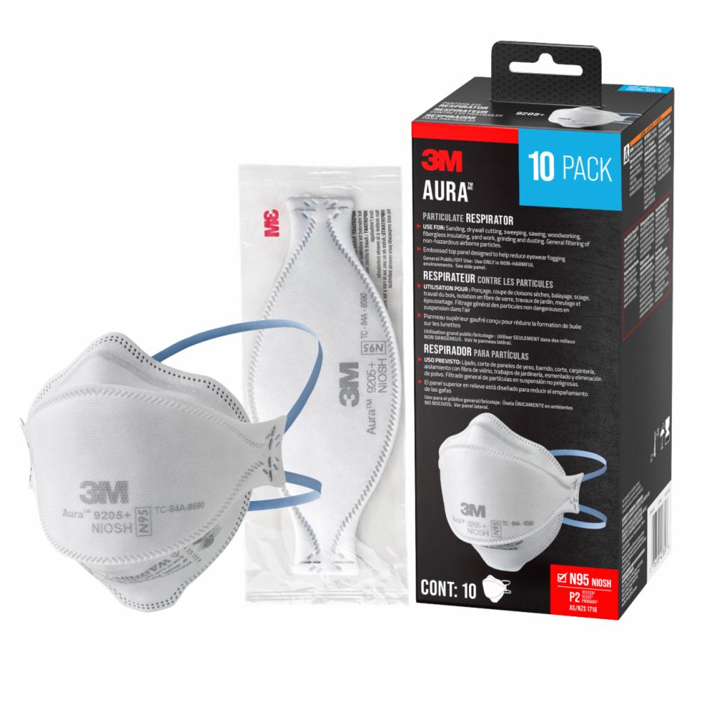
NIOSH TC-84A-8590
3M
Aura 9205+ N95, 20-pack
NIOSH-approved N95 TC-84A-8590 for necessary time outdoors in smoke. Fit is the product. Not a children’s size. Not a substitute for staying in or leaving.
$43.97 / 20-packPrice checked September 7, 2026